About the Program
The Taos Ski Patrol has been taking manual records of snowfall totals at least dating back to 1967. Chuck Rose and Dave Mount have been instrumental in starting and maintaining the automated weather stations at Taos Ski Valley throughout the years.
In January of 2015 we started updating our weather stations around the hill with the help of Campbell Scientific with the bulk of the work completed in the fall of 2015. This included adding three new weather stations at the top of Kachina Peak, Poco and the Base Area.
These weather stations provide important information for the operations of Taos Ski Valley with regards to avalanche forecasting and snow making operations. Many departments were instrumental in getting these weather stations operational.
Weather Stations
Kachina Peak
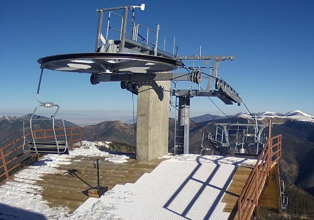
Elevation: 12,440ft
Located at the top of the new Kachina Peak chairlift this weather station provides us with wind speed and direction as well and temperature and Relative Humidity. We are able to calculate the current wind chill at the top. This weather station is run entirely using solar energy.
Highline Ridge
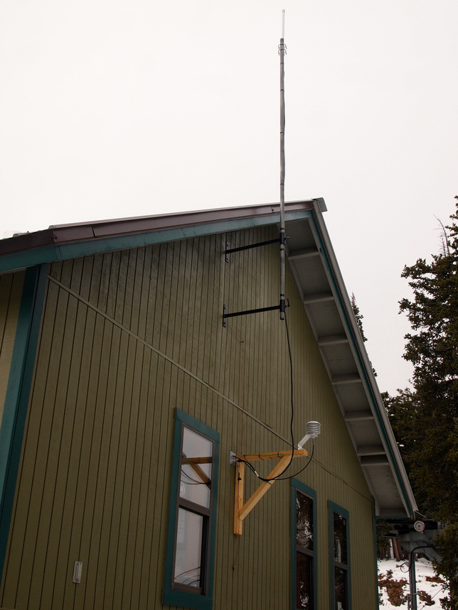
Elevation: 11,800ft
At the top of Lift 2 or our patrol shack we have a temperature/ relative humidity sensor. We also have an anemometer located at the Radio Towers at the Y where Highline and West Basin splits. This is where the historical wind data has come from.
Poco Wx
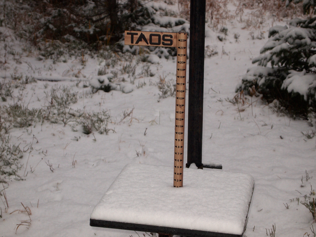
Elevation: 10,860ft
The Poco Gusto weather station was installed in the fall of 2015. Although this is a new weather station for automated data, this weather plot has provided all the historical data since 1967.
Currently at this site is a heated camera with a 24” snowstake that takes a photo of snow totals every hour. We plan on clearing the snow stake at 4:50pm every day at evening sweep. The snow that is on the stake in the morning is new snow that fell overnight.
We also have a temperature and relative humidity sensor for a mid- mountain temperature. We will continue to measure base depth and storm snow (HST) as well as take manual density readings at this weather plot which will be shown in the 2015-2016 historical weather report.
Top 7
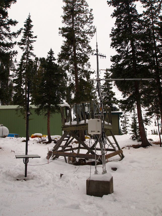
Elevation: 11,500ft
Located between the Top of Lift 7 and the Base of Lift 7A, this weather station provides us with a lot of information. Currently at this site is a barometer, temperature sensor, base depth and our 1 hour snow sensor as well as well as a heated precipitation gauge to measure water content in the snow.
Shalako Gully
Elevation: 10,840ft
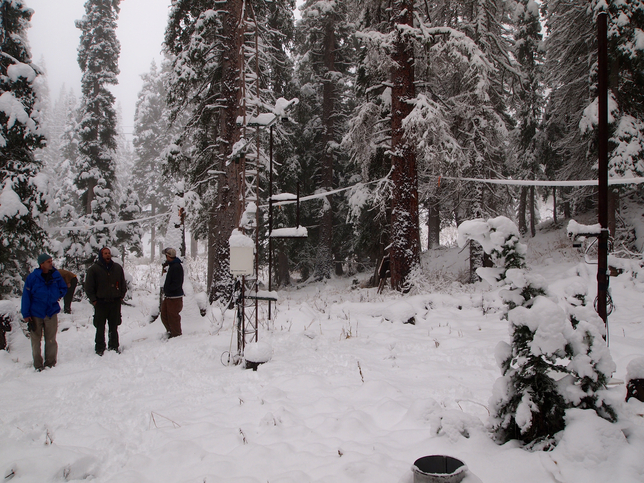
Located on the skiers left side of Shalako Gully above Midway, this weather station operates using solar energy. At the weather plot is a 1 hour and base depth snow sensor, temperature/ relative humidity sensor and a 20cm snow depth temperature sensor.
Base Area
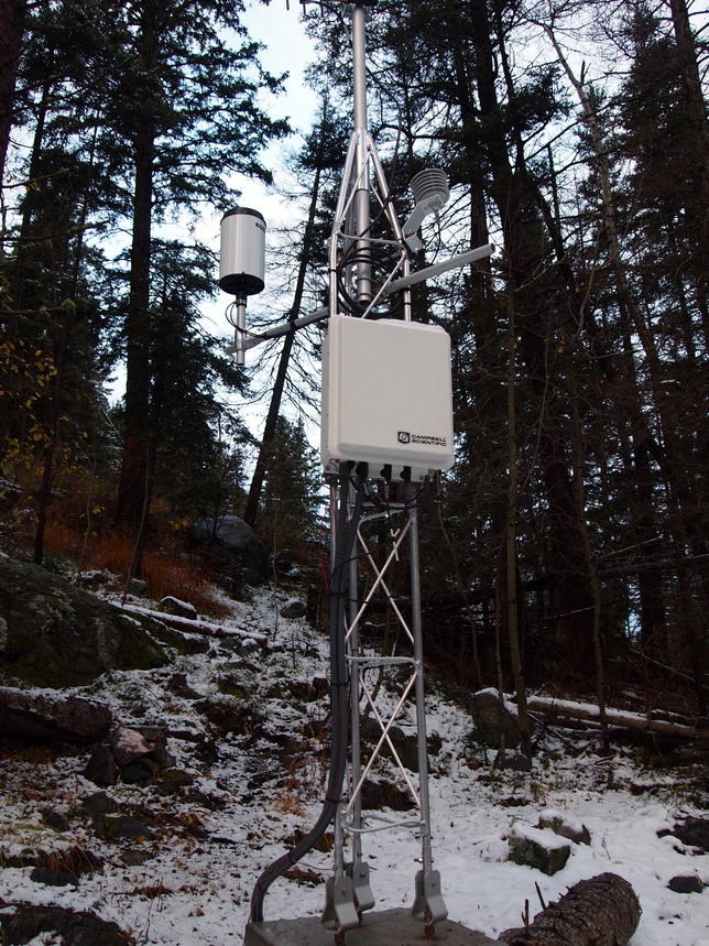
Elevation: 9,350ft
The base area station is a new weather station installed in the fall of 2015. It is located just uphill of the base of the Reuggli Chairlift. This weather station has a heated precipitation gauge which measures the water content of snow/rain in the base area as well as a temperature/ relative humidity sensor. This provides us with a base area temperature which is useful during spring warm up for wet slide cycles. The heated precipitation gauge provides us with the water content of storms for the lower mountain.
